22, డిసెంబర్ 2019, ఆదివారం

A visit of coastal Ecosystems in and around Visakhapatnam by DMTC Japan


Coastal areas are one of the most dynamic environments on the earth and area being constantly re-shaped by both natural processes and human development. The east coast of India particularly the coastal regions of Odisha and Andhra Pradesh are severe prone to cyclonic storms. 

Disaster preparedness refers to measures taken to prepare for and reduce the effects of disasters. That is, to predict and, where possible, prevent disasters, mitigate their impact on vulnerable populations, and respond to and effectively cope with their consequences. Disaster Management can be defined as the organization and management of resources and responsibilities for dealing with all humanitarian aspects of emergencies.

A visit of coastal Ecosystems in and around Visakhapatnam on the notes of ecologically sustainable disaster preparedness and management has been done by Disaster Management Training Center (DMTC), University of Tokyo, Japan under my supervision on 10th and 11th December 2018. The DMTC team was at Visakhapatnam for a conference on "Disaster Mitigation and Management" at GITAM University. It was pleasure to meet the dignitaries and discuss with them on ecological aspects of Visakhapatnam. 

The dignitaries were Dr. Muneyoshi Numada, Dr. Yasmin Bhattacharya, Dr. Shiozaki Yuto, Dr. Chaitanya Krishna, Ms. Sumiyo Okawa, Mr. Kishor Timsina, Mr. Hossain Shakawat , Mr. Ganesh Jimee along with Dr. P.V. Unnikrishnan. 

Me explaining the biological role of a sand binder at Sagar Nagar beach

Discussing about the natural coastal forest ecosystem at Seetakonda

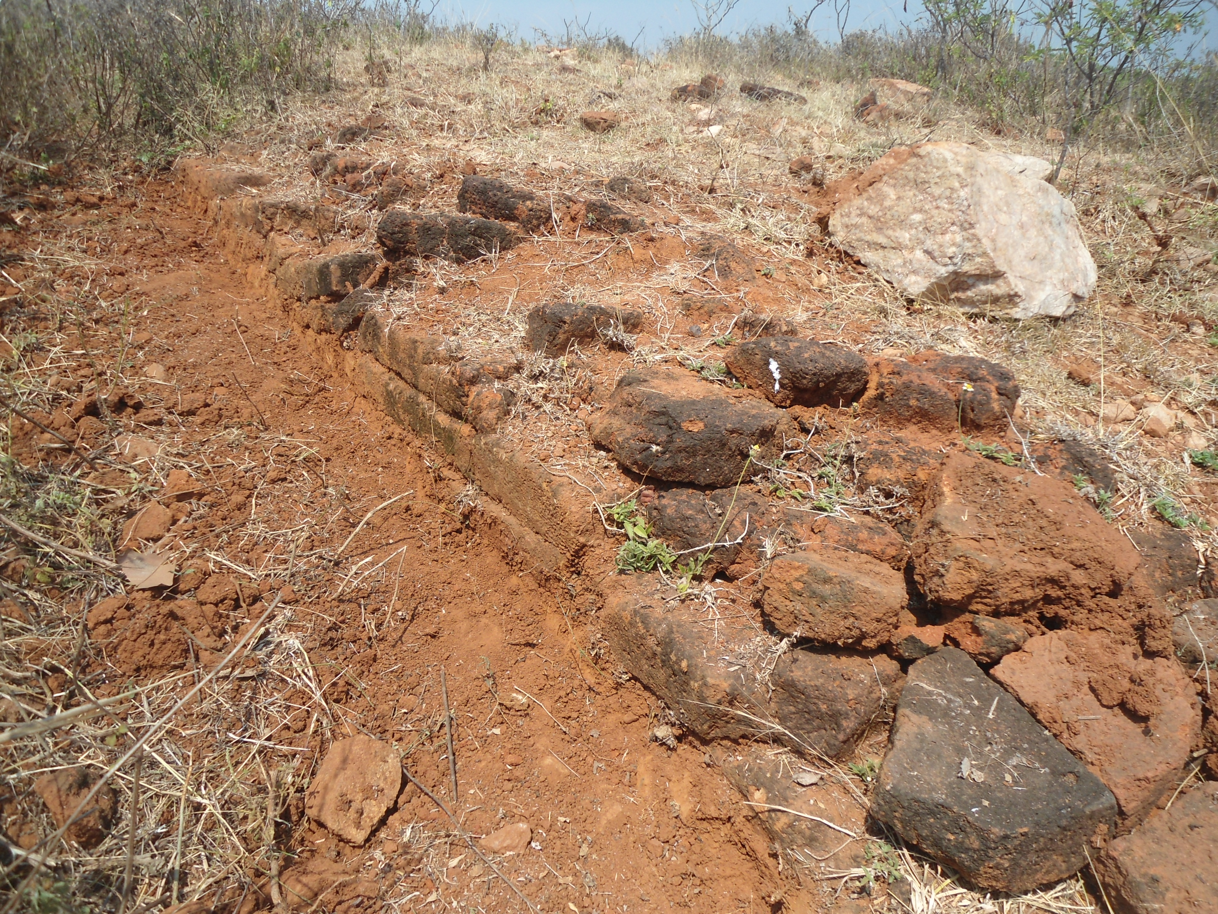
The rapid industrialization has put immense pressure on Shelter belts along the coastal region in India. As per National Green Tribunal and Coastal Regulatory Zone norms there should be 500 meters from the seashore should be filled with shelter belts. A shelter belt can make a coast safe from cyclonic effect if maintained well. The East coast of India is a regular tropical cyclone zone and needs a shelter belt with endemic flora.

Explaining about the importance of shelter belts and natural dunes at Bheemunipatnam.

A windbreak or shelter belt is a plantation usually made up of one or more rows of trees or shrubs planted in such a manner as to provide shelter from the wind and to protect soil from erosion. This technique can be implemented along sea coasts also to protect from coastal erosion's, storms and winds. The other benefits include providing habitat for wildlife and in some regions the trees are harvested for wood products. 

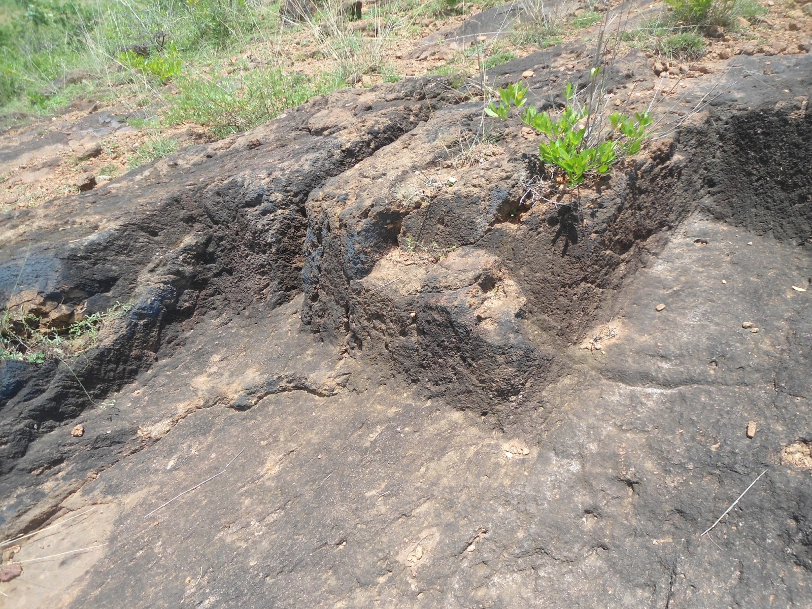
A Discussion about eroded slopes near Rushikonda

Dunes provide habitat for highly specialized plants and animals, including rare and endangered species. They can protect beaches from erosion and recruit sand to eroded beaches. Stabilizing dunes involves multiple actions. Planting vegetation reduces the impact of wind and water. It can help retain sand and other material needed for a healthy sand dune ecosystem. 

With DMTC team at Jodugullapalem Beach

The erosion of foot hills and degradation of hillocks is a serious issue related to ecology in that particular region.Vegetation and slope stability should be classified as an important factor for improving the green cover on degraded hills. The hilltop removal also affects the hill slope degradation along with many factors. There are four major ways in which vegetation influences slope stability: wind throwing, the removal of water, mass of vegetation (surcharge), and mechanical reinforcement of roots.

Dr. Muneyoshi Numada, director DMTC at Disaster Management workshop

Me along with Mr. Raju, Dr. Yasmin, Dr. Shiozaki, Ms. Prasanna and Mr. Rayudu

Me along with Dr. P.V. Unnikrishnan, Dr. Yasmin, Dr. Shiozaki at Bheemili

After a visit of coastal ecosystems from Bheemunipatnam to RK Beach in Vizag the team got to an idea of how natural resilience can be included as priority in Disaster Management. I have been invited to work along with DMTC Japan in the near future on inclusion of "Natural Resilience in Disaster Management". I thank Dr. Unni Krishnan and Environmentalist Mr. J.V. Ratnam who made this possible. 

It is our basic responsibility to protect our Ecosystem


1, సెప్టెంబర్ 2017, శుక్రవారం

Kulayi Cheruvu Park: Biodiversity hotspot of Kakinada

Parks play an important role in stabilizing the urban environment in all possible ways. These parks should be filled with endemic(native) flora for a sustainable ecology. One such park is Vivekanada Park (locally known as Kulayi cheruvu). Kulayi cheruvu means Water tank pond, which was built during British time for drinking water supply to the then city of Kakinada. Now the City Water treatment plant lies beside the park improved along the tank. 


I just made a random census of flora at this park in 3 different seasons of a year and found that nearly 87% of the green cover in the park is endemic(native) trees and 13% of exotic and decorative flora. There are varied fauna observed at this park during my visits. I am just listing some details of my tree census done at Kulayi cheruvu park.


There are some endemic fruit bearing plants in single number at the park. Small flowering shrubs and various endemic and exotic ornamental plants were located along the pathway and walkway around the tank in the park. 


Besides the flora the park consists of varied range of fauna due to the presence of a large water tank. One can observe a variety of  birds like cormorants, sand pipers, egrets, crows, mynas, babblers, ducks, pied kingfisher. Mammals like squirrels, mongoose, fruitbats. Amphibians like frogs, pond terrapins and fresh water turtles. Reptiles as water snakes, bronze backs, lizards. Insects like dragon flies, butterflies, carpenter bees, honey bees, wasps in this park. 


Every civic body should think of improving the urban parks with more than 90% of endemic green cover for a sustainable Eco system. Kulayi cheruvu park sets an example for being a biodiversity hotspot and oxygen ground in the heart of Kakinada city.  As per statistics on average, one tree produces nearly 260 pounds of oxygen each year. So the amount of oxygen released from 50% of fully and medium grown trees here in this park will be immense and supporting life. 

19, జులై 2016, మంగళవారం

A trip to Simhachalam Forest

The Eastern Ghats Mobile belt is a range of hills along the coast of Visakhapatnam city. These are formed by a tectonic arrangement with Khondalite suite and Quartz Archean rocks along the Eastern Ghats. The Simhachalam hill range lies along this belt towards the North of the city. A variety of endemic flora and fauna lies on this range of hills. A group of enthusiasts went up the hill for a trek of 12 Km to and fro in the year 2014. I was one of them.

The trek was awesome as it was monsoon

A Green canopy on the way

Huge grass were common on the way

Endemic flora always attracts you


The wild fragrance 

Forests show you the way to live 

Save Green Stay cool

The Curry leaf plant in a Jungle

Variance in foliage 

All the images were shot with a Samsung digicam and anyone can use these images with attribution


3, సెప్టెంబర్ 2015, గురువారం

Krishnapuram: Buddhist Rock cut Cisterns near Padmanabham

A Buddhist ruin site is located at Krishnapuram village near Padmanabham in Visakhapatnam district of Andhra Pradesh. The site is located on a 50 meter high flat terraced hillock.

Satellite Imagery of Krishnapuram Buddhist site (in yellow)
(Coordinates: 17°59'15"N   83°20'57"E)

This site was explored by me(N. Aditya Madhav) on 19th August 2015 and a team of historical enthusiasts visited the site on 23rd August 2015. The site Photographs were observed by freelance archaeologists and was identified as a site in connection to rock cut cisterns to store rain water during Buddhist times, mostly contemporary with nearby sites of  Pellikonda, Pavurallakonda, Cherukupalli and Gudiwada dibba.

Traces of a Rock cut cistern

Some traces of rock cut cisterns, water channel were found towards west side of the hillock facing the river Gosthani, which is 0.5 KM away. There was a small drain towards the foot of the hill, which merges into the river Gosthani. 

View of the Hillock

Historical Enthusiasts at the Site

Another Rock cut cistern and channel on the hillock

The rock cut cisterns were filled with gravel and we were unable to detect the exact shape or cluster. This site is on the opposite side of Pellikonda Buddhist site. A letter has been sent to the concerned state archaeological authorities to confirm the date of the site. Hope this site gets some attention and goes through detailed exploration very soon.

Help Save Historical Sites of North Coastal Andhra

22, జులై 2015, బుధవారం

Kambalakonda Sanctuary: The Natural protector of Visakhapatnam

The Kambalakonda Wildlife Sanctuary is a forest located near Visakhapatnam. It is under the control of Andhra Pradesh Forest Department since March 10, 1970. Earlier the land was under the control of Maharajah of Vizianagaram. It was named after the local hillock Kambalakonda. It is a dry evergreen forest mixed with scrub and meadows and covers an area of 70.70 square kilometers. Eastern Ghats form the world's 7th Unique Bio diverse region and Kambalakonda lies along the Eastern Ghats Mobile Belt.

Schematic Map of Kambalakonda Wildlife Sanctuary  ( Not to Scale)

The sanctuary has a dry evergreen forest mixed with scrub and meadows. The terrain is hilly with steep slopes. Madhurawada Dome in Eastern Ghats mobile belt is formed by a tectonic arrangement with Khondalite suite and Quartz Archean rocks along the Eastern Ghats north of Visakhapatnam city, Andhra Pradesh, India. This area is a dry evergreen forest Zone. Madhurawada Dome along the Eastern Ghats Mobile Belt is an important region of Biodiversity and a barrier for sea erosion's on the city scape of Vizag.


Today the area of Madhurawada Dome is facing a serious threat of deforestation due illegal constructions in the name of expansion of the city. Lets take up the ecological responsibility for the conservation of Eastern Ghats Mobile Belt (EGMB) . The EGMB acts as a natural protector for the city of Visakhapatnam on the north and west of the city. Lets come together to protect the Eastern Ghats of India.


Eastern Ghats are the natural protectors for the East coast region of India


5, జులై 2014, శనివారం

Pellikonda: Boomerang shaped Buddhist site

Buddhist Ruin site of Pellikonda is located near Mukundapuram and Reganigudem village's in Anandapuram mandal, Visakhapatnam district, Andhra Pradesh. As seen from a satellite image the low level Hilltop (50 M) looks like a boomerang in North east to South west orientation.

Satellite Imagery of Pellikonda Buddhist site
(Coordinates: 17°56'53"N   83°19'44"E) 

This site was first explored in 1990's by the State Archaeology Department of Andhra Pradesh and was just left with a documentation and no traces of security are found at the site. As per the observations and data from historians the site may be dated back as a contemporary of  Pavurallakonda and other Early Buddhist sites near Bheemunipatnam and Visakhapatnam.

Outline of Stupa Brick Remnants at Pellikonda

During an exploration by historical enthusiasts and freelance archaeologist's in April 2013, Brick remnants, potsherds and columns were found scattered on the flat terraced area towards North east of the Hillock. 

View of Pellikonda Buddhist site

Potsherd at Pellikonda Buddhist Site

Large Bricks of dimensions 23 x 10 Centimeter were found at the site. Most of the area was vandalized by Cashew plantations. An extensive study and exploration is needed urgently to preserve and protect this early historic Buddhist site along Gosthani river basin, which is contemporary to Pavurallakonda, Thotlakonda and Bavikonda Buddhist sites in Visakhapatnam district.

Brick sized  23 x 10 Centimeter at Pellikonda

Help Save Historical Sites of North Coastal Andhra

28, జూన్ 2014, శనివారం

Dannanapeta: Unique Megalithic Site in India

Dannanapeta Megalithic Site near to Amadalavalasa town in Srikakulam district of Andhra Pradesh has a unique and large megalithic complex, which includes a large dolmen, many small cists and innumerable post holes and menhirs. The dolmen is one of the biggest in dimensions, the single capstone on the dolmen weighs up to 50 tonnes and the entire complex makes an extremely interesting and valuable heritage site.

The largest Megalithic dolmen of Early Iron Age


Unfortunately the Government polytechnic college of Amadalavalasa has come up right next to the site and there is a lot of building activity nearby. The site is being vandalized by the villagers for its stones. If urgent measures are not taken to protect the site, it is in danger of total disappearance. Dannanapeta megalithic site has been notified by State Archaeology department in 2011. But, there were no traces of preservation here till now. 


As per historians, these megaliths can be dated back between (1000 BCE to 500 BCE), post holes around the dolmens suggest that this place suggests a memorial or worshiping center by the Iron Age man.Small caves which were used for habitation by the Iron Age man were also explored here at Dannanapeta. These caves would have been later occupied by Jain monks between (1st CE to 2nd CE), as the traces of rock beds in the caves and water troughs were observed on the surface of the caves. Prehistoric Rock shelters were also observed here at Dannanapeta.
Prehistoric Caves at Dannanapeta megalithic site


People under the Dolmen, who visited the site, a building construction nearby


Me explaining a team about the usage of Post Holes at the megalithic site

This particular archaeological structure was explored and discovered by a Freelance archaeologist Kadiyala Venkateswara Rao in 2011. The discovery is significant as it is the biggest dolmen measuring 36 X 14 feet with a thickness of two feet, so far not reported from Andhra Pradesh.


As per the observations and information from local's, the historical site is being vandalized on a speed pace as many megaliths were already destroyed and these are being crushed and used for the construction of a building very near to the site. There is an urgency to save and preserve this unique megalithic site to provide evident Historical studies for future generations.


Schematic map of Dannanapeta Megalithic Site

An online petition has been started on for the protection and preservation of this unique megalithic site as an initiative by a team of Historians in North Coastal Andhra. 
Visitors of this page please sign the petition below and support us.
Help save our Heritage sites.
Please sign the petition and share. 
Click the link below to sign the petition

Help Save and Preserve the unique Megalithic structures